
Home
Stewart Pass Hike, August 23, 2014
Undaunted by overnight rain and a forecast for more of the same, Dave W. (substituting as hike leader for Jim), Dave P. and Ryan braved the unsettled weather to hike in the Wellsville Mountains. The original plan was to go all the way to the Wellsville Cone, but threatening weather prompted the hikers to end their trip at Stewart Pass.
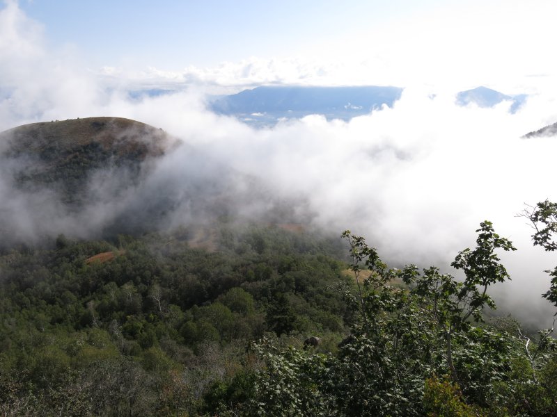
The road from Mendon to Maple Bench was rough, muddy and rutted, but fortunately the road surface was firm enough to provide good traction. About 9:00 am we arrived at the Trailhead and started hiking south toward Coldwater Lake. After the lake a network of paths and unsigned trail junctions caused some uncertainty. However, it didn't take us long to find the right path as we pushed our way uphill along the wet, brushy trail as misty clouds swirled below.
The trail became more narrow and overgrown as we hiked up the east-facing slope, but that was nothing compared to the conditions we encountered as the trail traversed along the north-facing slope. Thick vegetation obscured the ground as we stepped over brush and trees growing horizontally across the trail while simultaneously ducking low under branches that threatened to knock our heads. The overgrowth abated when the trail reached a more open south-facing slope, only to be replaced by severe erosion. In many places there was so much erosion and so many short-cut switchbacks that it was hard to make out the proper trail.
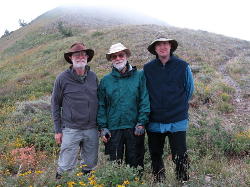
Fortunately trail conditions improved as we climbed toward the crest of the Wellsville Mountains. We stopped for lunch amid a field of late-summer flowers at Stewart Pass, where threatening weather convinced us it was time to head back down (and the clouds would have obscured any views from the peak, too). As we descended we could hear thunder and we saw rain storms moving into northern and eastern Cache Valley, but we made it all the way back to the trailhead without incident. We congratulated ourselves on our good judgment as it began to rain on our drive back to town.
Trip Summary:
- Started hiking about 9:00 arrived at Stewart Pass about noon and back to Logan by 4:00
- Cloudy, threatening weather, but no rain while we hiked
- 6 miles hiking with 2400 feet of elevation gain
- A steep climb, with 2 miles at a 20% grade
- Some of the worst trail conditions we have experienced
Thanks to Dave W. for the narrative, photos and GPS work
Misty clouds below as we hiked |
Overgrown trail along the east-facing slope |
Threatening weather on Stewart Pass |
|
Overgrown trail on the north-facing slope |
Another photo of the trail |
More brushy trail |
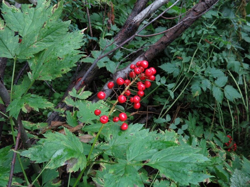
Baneberry |
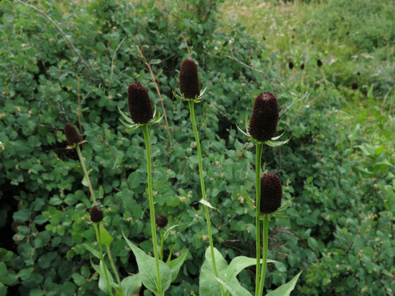
Western coneflower |
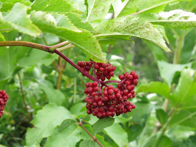
Red elderberry |
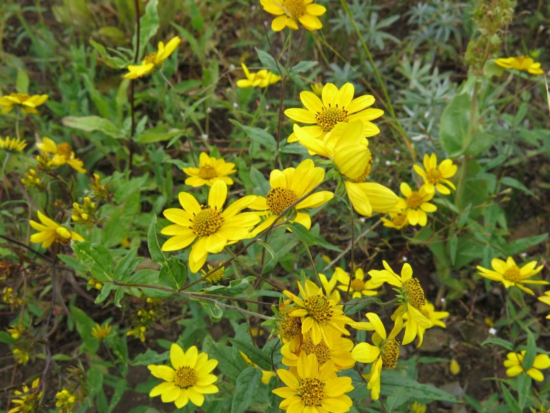
Showy goldeneye |
Hummingbird trumpet, fire chalice or wild fuchsia (AKA Zauschneria) |
.jpg)
.jpg)
.jpg)
.jpg)
.jpg)
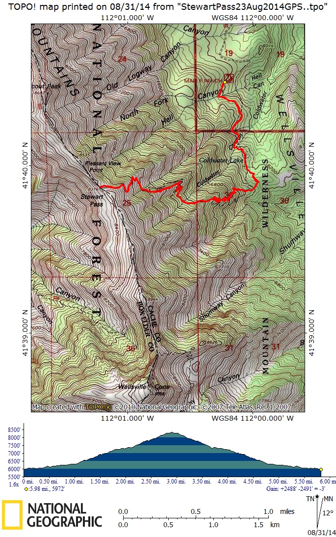
Our GPS track showed 6 miles with 2500 feet of elevation
You can also look at our route using Google Earth or the various map and aerial views of Google Maps